Satellite data makes exact measurement of rising sea levels possible
Antarctic ice cap melting faster and faster

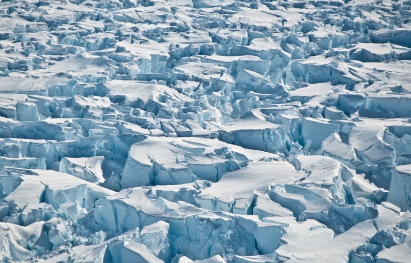
The results of the study, published in the journal "Nature", place the loss of ice in the Antarctic before 2012 at approximately 76 billion tons a year. This is equivalent to an annual rise in sea level of 0.2 millimeters. Since then this rate has tripled: Between 2012 and 2017 the continent lost 219 billion tons of ice annually, equivalent to a 0.6 millimeter rise in sea level each year.
The study has created the most comprehensive image yet of the changes in the Antarctic ice cap. 84 scientists from 44 research institutes participated in the joint project IMBIE (Ice Sheet Mass Balance Inter-comparison Exercise) under the direction of Prof. Andrew Shepherd (University of Leeds ) and Dr. Erik Ivins (NASA Jet Propulsion Laboratory). The project received support from the European space agency ESA and the US space agency NASA.
Various methods reveal an overall picture
The special aspect of the project: A total of 24 satellite missions were evaluated independently of one another using different analytic methods; these results were then consolidated to create an overall picture. This procedure compensates for the inaccuracies and errors of individual evaluations.
Dr. Alexander Horvath also contributed data evaluation to the project. During his dissertation at the TUM Chair for Astronomical and Physical Geodesy he determined the changes in the ice masses using gravimetric methods.
Minimal disturbances in satellite orbits are measured
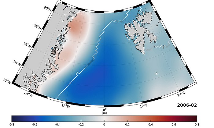
The geodesist used data on the changes in gravity which the twin GRACE satellites over a period of 15 years. The orbital path in which the satellites travel is influenced by minor variations in the earth's gravitational field: When the amount of ice at the earth's pole increases or decreases in the course of a year, the result is minute orbital disturbances and thus changes in the distance between the two satellites. The scientists used these changes to determine the changes in the mass of ice within a defined area. "Our results match the overall picture painted by the other measurements as well," Horvath explains.
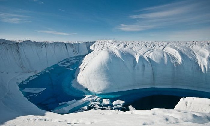
In theory the Antarctic stores enough frozen water to raise the global sea level by 58 meters. The scientists write that the development of the melting of the ice cap has to be documented as precisely as possible in order to properly asses the impacts of climate change.
Publication:
"Mass balance of the Antarctic Ice Sheet from 1992 to 2017", A. Shepherd et al., Nature 558, 219–222 (2018), DOI: 10.1038/s41586-018-0179-y
Link: www.nature.com/articles/s41586-018-0179-y
ContaCt:
Prof. Roland Pail
Technical University of Munich
Chair for Astronomical and Physical Geodesy
+49 (0) 89 289 23190
pail@bv.tum.de
www.bgu.tum.de/en/iapg/welcome/
Technical University of Munich
Corporate Communications Center
- Stefanie Reiffert
- stefanie.reiffert@tum.de
- presse@tum.de
- Teamwebsite

