TUM geologists create 3D underground model of Munich
Urban planning: Precious resources far below the surface
Dr. Zosseder, why do we need to manage the underground?
Projections indicate that 70 percent of the world’s population will live in cities by 2050. But cities not only expand outward and upward, but also downward – for example through development of the underground rail network or the construction of underground garages. The underground also provides important resources for cities, including groundwater, which is needed as industrial and drinking water or geothermal heat as a renewable energy source. In addition, it offers heat storage potential, which is urgently needed for greater flexibility in the heat supply. Naturally these many potential uses of the underground result in conflicting demands where multiple uses are not possible. Some uses can complement one another, however. Consequently, the development planning must be sustainable to ensure optimal utilization of the potentials.
How can we ensure this?
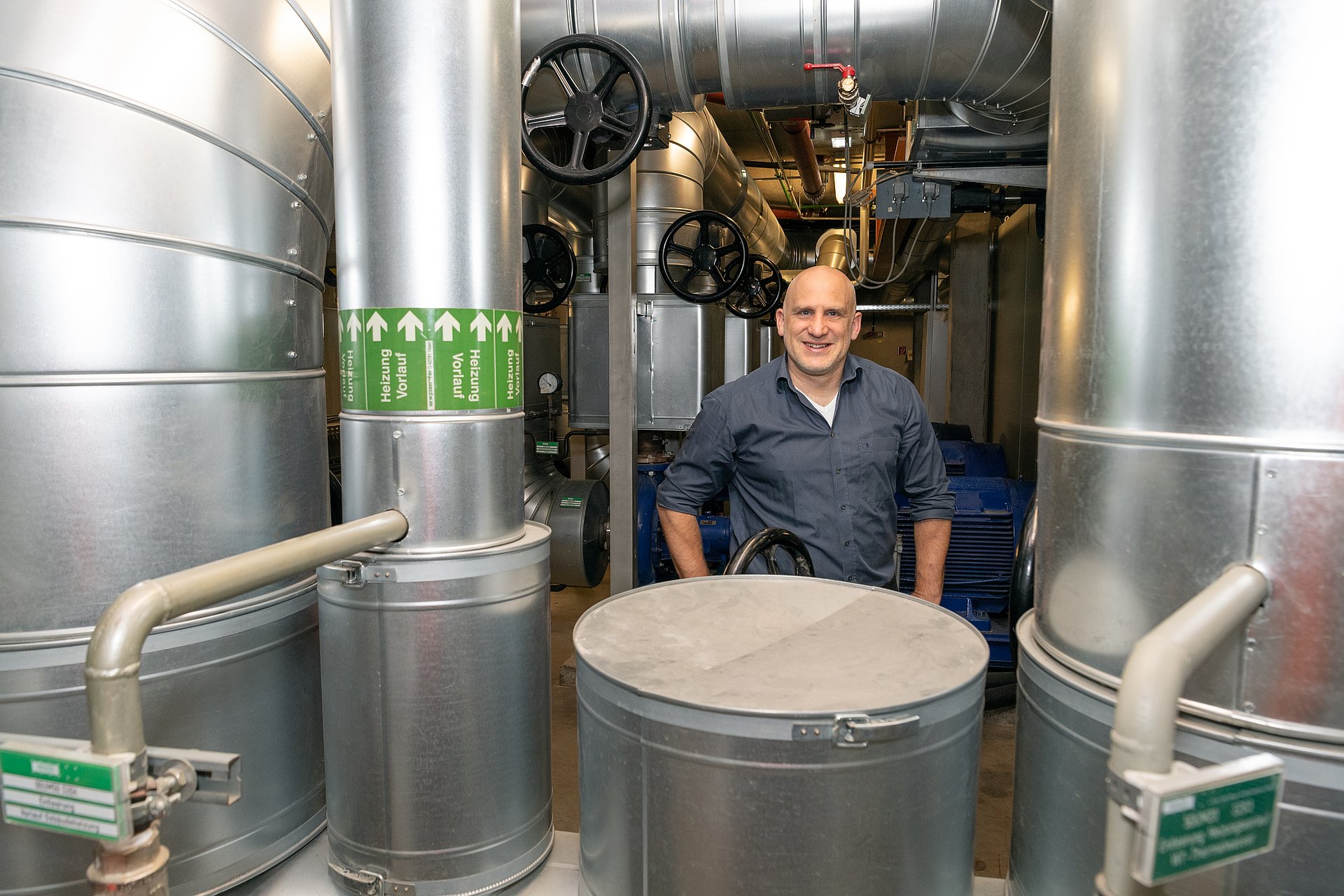
In our GeoPot project, funded by the Bavarian Ministry of the Environment, we have produced a 3D underground model of Munich that presents the various potentials in detail. It gives the city an invaluable tool for planning civil engineering projects and groundwater use. The municipal works department is already using the model to optimize the planning of the subway network. At certain locations, the tunnel walls can be double up as geothermal energy storage. This is possible only if we know how things look underground.
„We also want to extend our model to lower depths”— Dr. Kai Zosseder
How did you go about creating the 3D underground model?
We spent five years collecting data in a team of seven researchers by analyzing information collected from around 20,000 boreholes. The city already had this material, but had been using it only for certain projects. For these boreholes we have geological data – in other words, information on the soil conditions. We translate these descriptions into graphs known as grain size distribution curves. They show us which percentages of various types of material such as clay, gravel or sand are present in the bore section. Where there is a lot of gravel, this also indicates the presence of larger quantities of water due to the higher water permeability. Or if the sand percentage is high, thermal conductivity is higher and we have better heat storage potential. The models obviously include uncertainty factors. One can create conservative models to ensure greater certainty for planning purposes or somewhat more optimistic models.
Did you make any surprising discoveries when analyzing the model?
A very important relationship is seeing how bodies of groundwater are interconnected – for example to calculate how far a certain pollutant will spread. Or, when deciding on planning permission for a drinking water source, it is important to know whether groundwater locations are linked. It was always assumed that these interaction zones occurred only at certain locations. But we were able to show that they are in fact much more common – which was sometimes surprising.
Will more work be done on the model?
New data obtained from drilling work, for example on the new main underground rail line now being built, are continually entered in the system to improve the precision of the model. We are currently working on the documentation of storage potentials, too. Underground thermal storage is very interesting for energy providers. But it can only be used efficiently with an underground planning tool. We also want to extend our model to lower depths where other utilization potentials are located.
Technical University of Munich
Corporate Communications Center
- Stefanie Reiffert
- stefanie.reiffert@tum.de
- presse@tum.de
- Teamwebsite
Contacts to this article:
Dr. Kai Zosseder
Technical University of Munich
Chair of Hydrogeology
+49 89 289 25834
kai.zosseder@tum.de

")
")
")